
Leading the way in accurate surveying
We make accurate drone surveying available to professionals in construction, recycling, infrastructure and the environmental sector. One complete system gives you dependable information about any site, with no complicated software to learn.
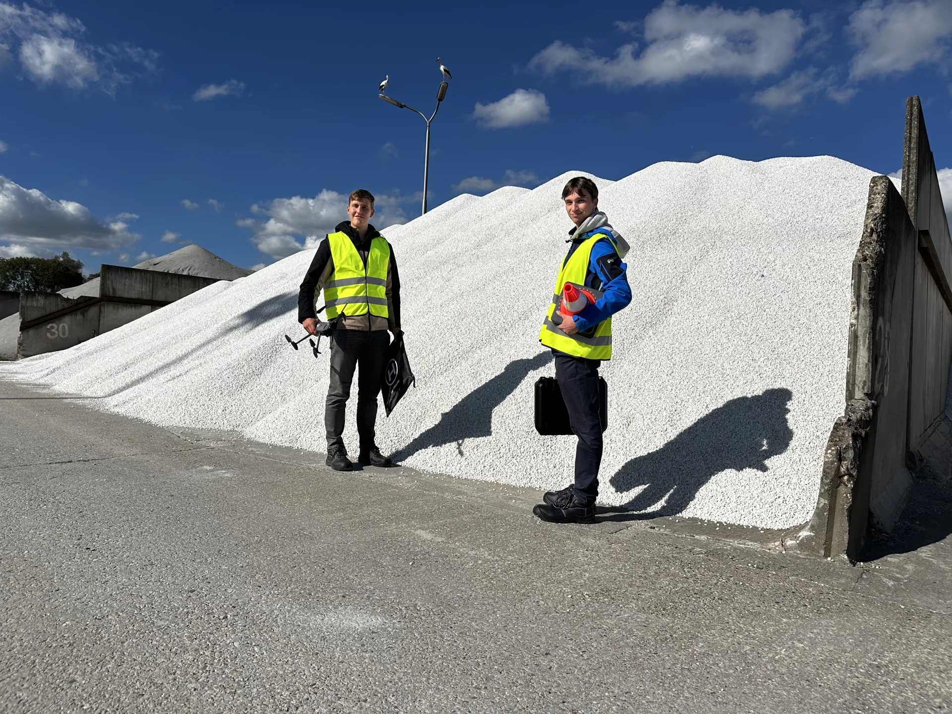
Good to meet you. We're MRR Drones
Our mission: make drone data available to everyone.
We make it straightforward for companies to cut costs and make better decisions by measuring accurately. We do that with complete, well-thought-out systems and a full service behind them: drone and software, training and support.
What we believe is simple: dependable data should not be expensive or complicated. So we built a drone that flies itself and software that takes over the calculations, leaving you free to get on with the job instead of wrestling with the technology.

- 10
- years of combined experience in digital transformation
- 1000+
- automated flights completed successfully
- 100%
- our own software, which is what makes the difference
What drives us
These principles shape how we build the product and how we work with customers.
Simple over complex
Technology should never be the obstacle. We design everything so anyone on site can pick it up and use it straight away.
One supplier, end to end
Drone, software, training, licence and support in one package. Nothing for you to research or piece together yourself.
Our own software
Building our own software is what sets us apart. It lets us improve quickly and grow the system into new use cases.
Real people
No maze of a support portal. One named contact and a phone number you can simply call.
The people behind AiroMap
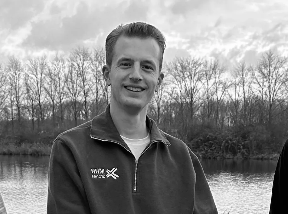
A small, committed team based in Eindhoven. You get one named contact who knows your situation, from the first demo through to everyday use.
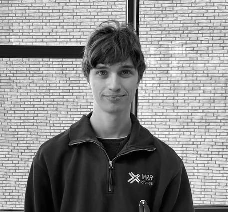
Alex
Software Lead

Frank
Strategic Advisor

Julian
Strategic Advisor

Frederik
Testing Support Engineer
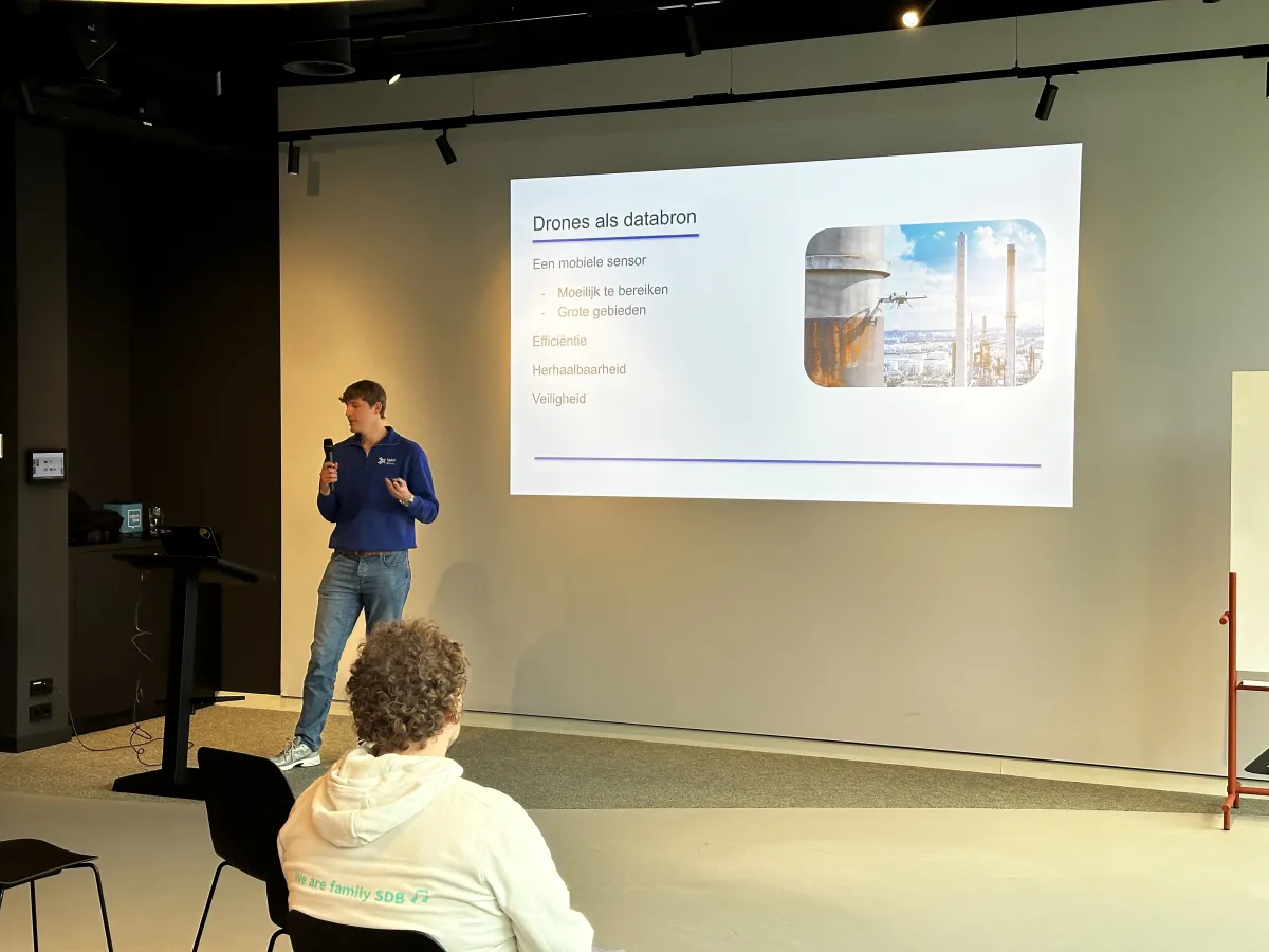
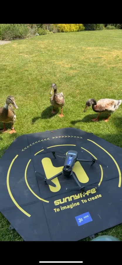
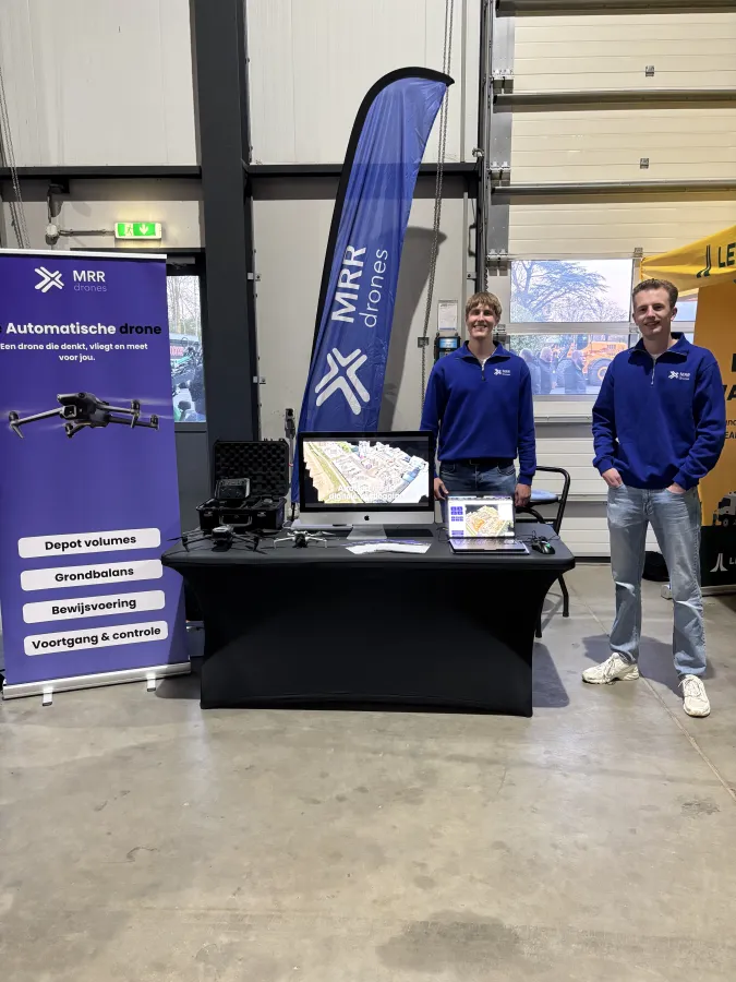
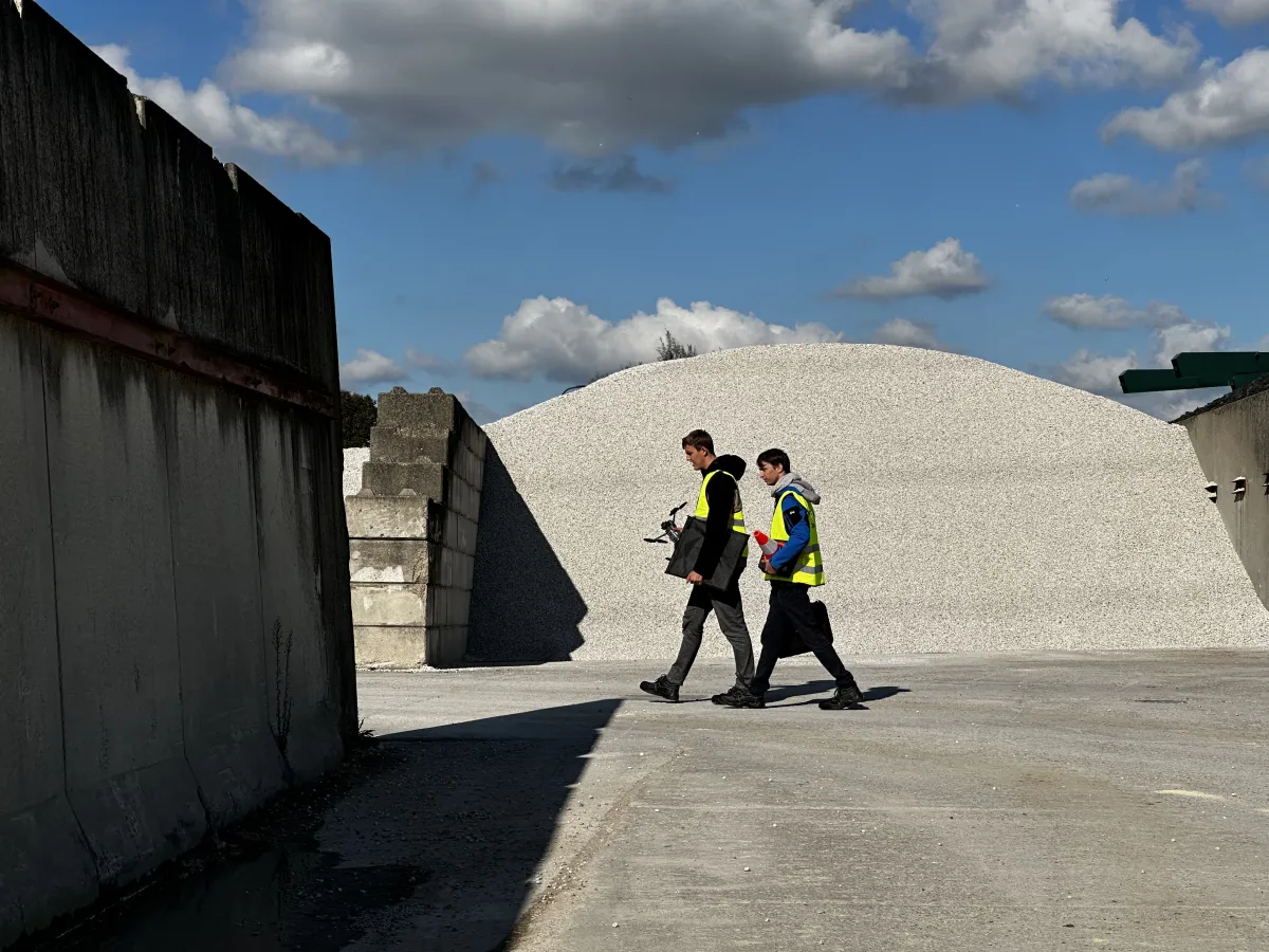
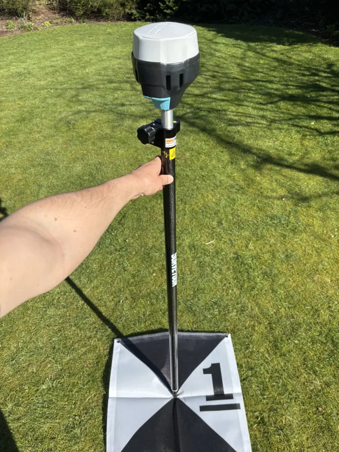
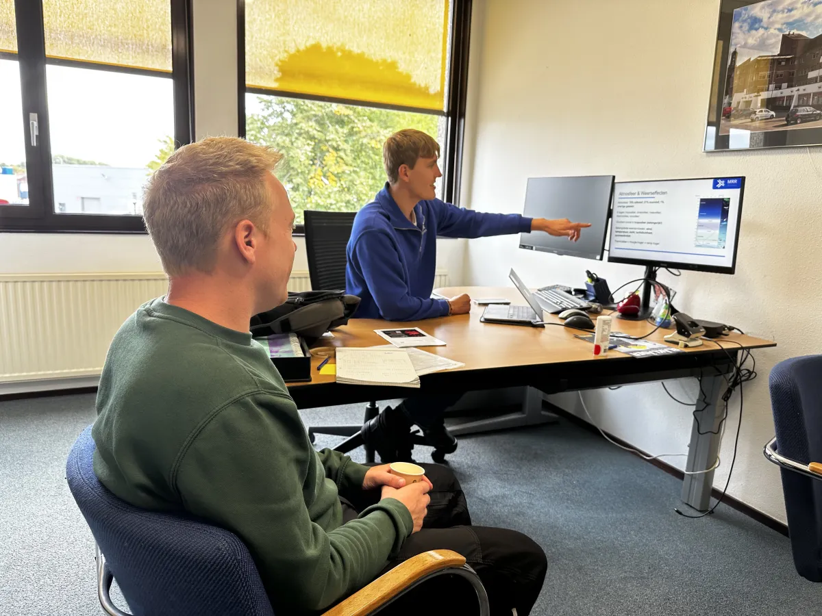
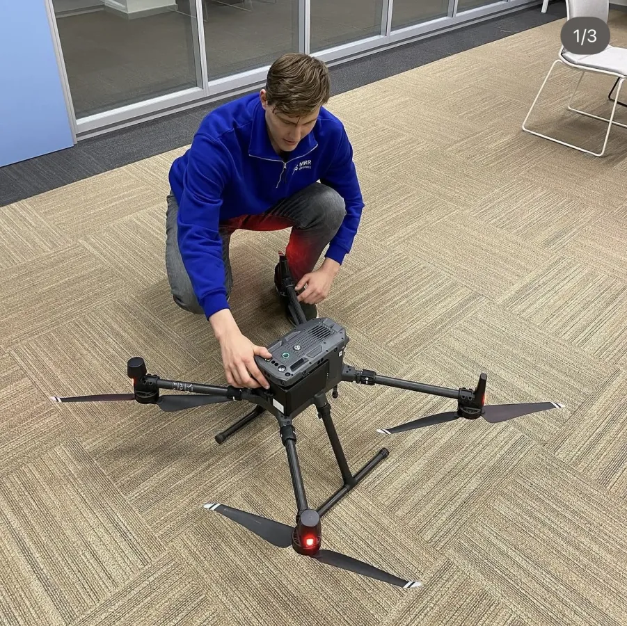
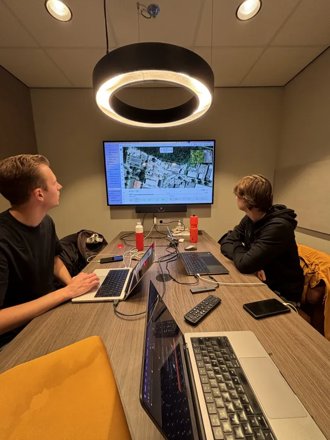
MRR at work
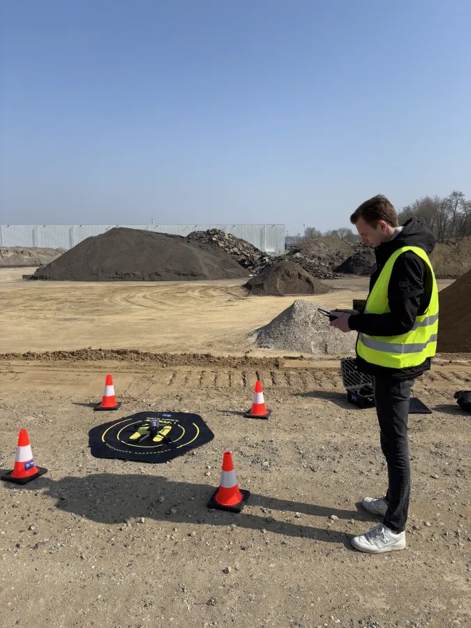
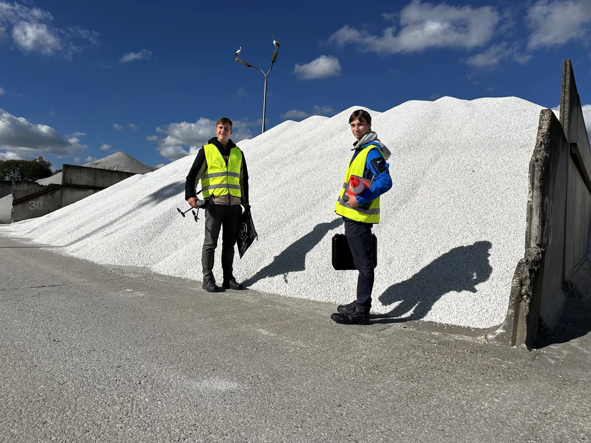
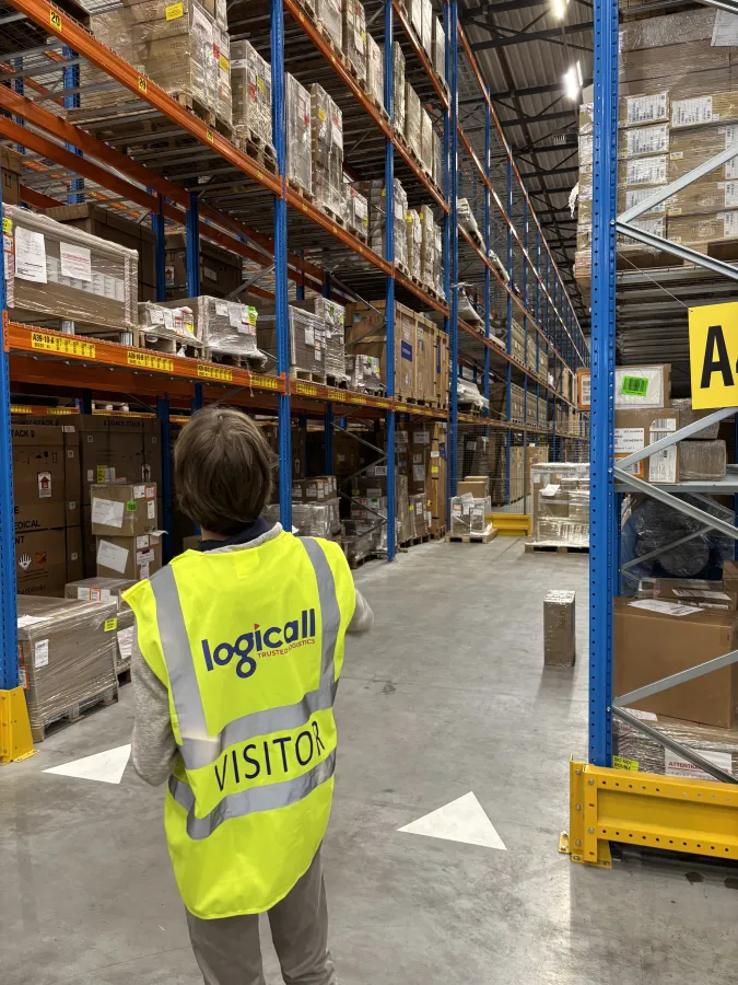
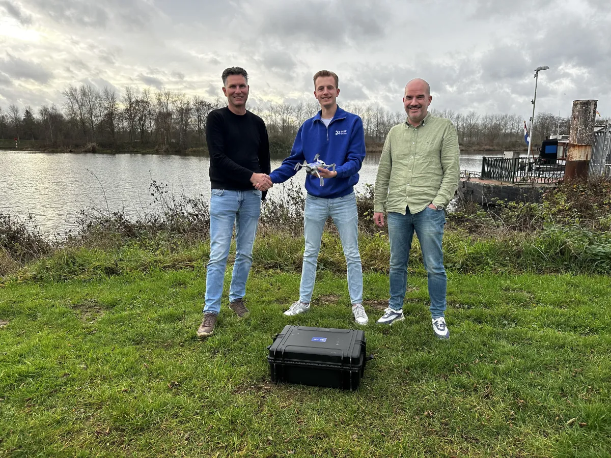
From the field to the office: a look behind the scenes at the team working on accurate surveying every day.
Working internationally
MRR Drones works internationally. We survey for leading firms in the Netherlands, Germany and the United Kingdom, among others. Wherever your site is, our system works right across Europe.
Organisations we work with









Want to see what AiroMap could do for you?
Leave your email address and we will come back to you as soon as we can. Or book an online intro call straight away.
Book a demo
Pick a slot in our online calendar for a 30-minute intro call. We will look at your situation together and show you what is possible in a demo built around it.
Further reading
See all articles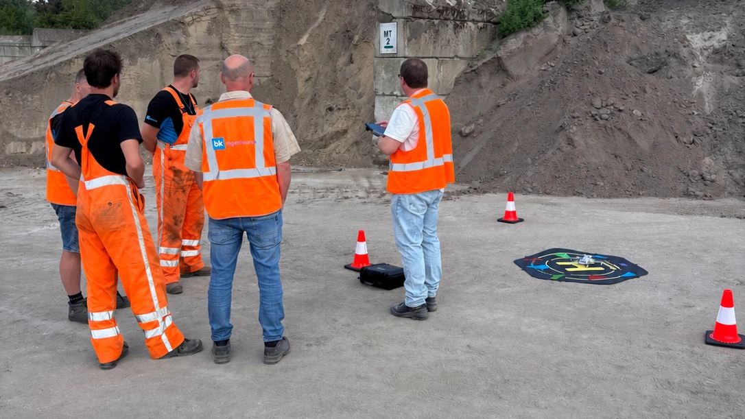
How a drone gets into a company
Buying a survey system is the easy part. Whether it gets used is the real question. How BK Ingenieurs took it up company-wide instead of as a trial.
Read more
'We estimate it' is no longer an answer
What is on your yard was an internal number for a long time. Increasingly you have to be able to prove it, and that is not only coming from your accountant.
Read more
Drone survey or GPS rover: they do not measure the same thing
A GPS rover is accurate about points, a drone about shapes. Why that difference decides which tool fits which survey question, and why you use both.
Read more