
Stories from the field
Customer stories, updates and background on automated drone surveying. How companies survey their own stock, earthworks and batches with AiroMap.
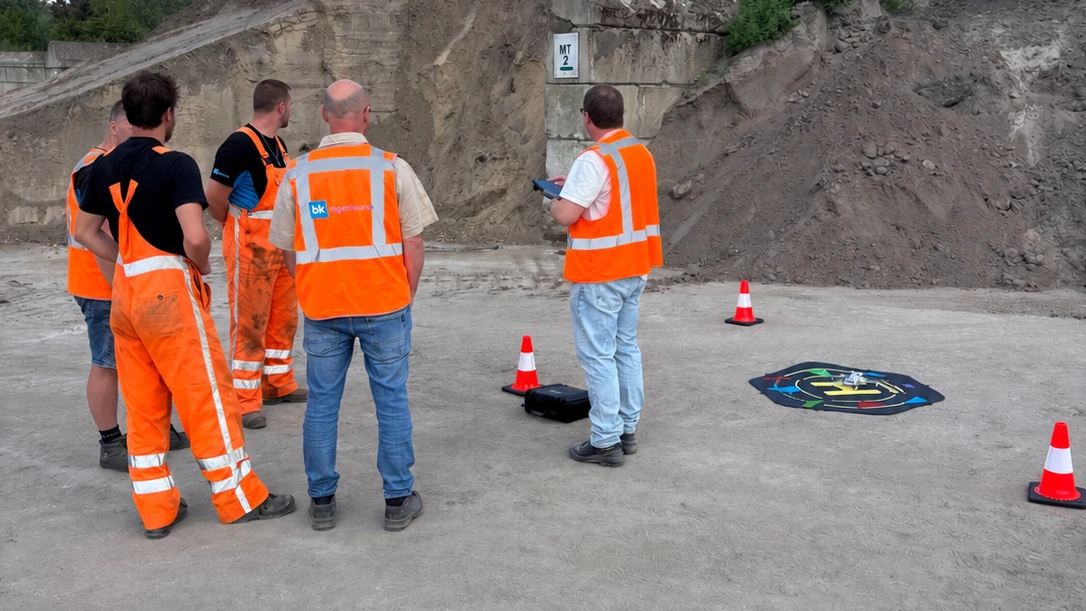
How a drone gets into a company
Buying a survey system is the easy part. Whether it gets used is the real question. How BK Ingenieurs took it up company-wide instead of as a trial.
Read more
'We estimate it' is no longer an answer
What is on your yard was an internal number for a long time. Increasingly you have to be able to prove it, and that is not only coming from your accountant.
Read more
Drone survey or GPS rover: they do not measure the same thing
A GPS rover is accurate about points, a drone about shapes. Why that difference decides which tool fits which survey question, and why you use both.
Read more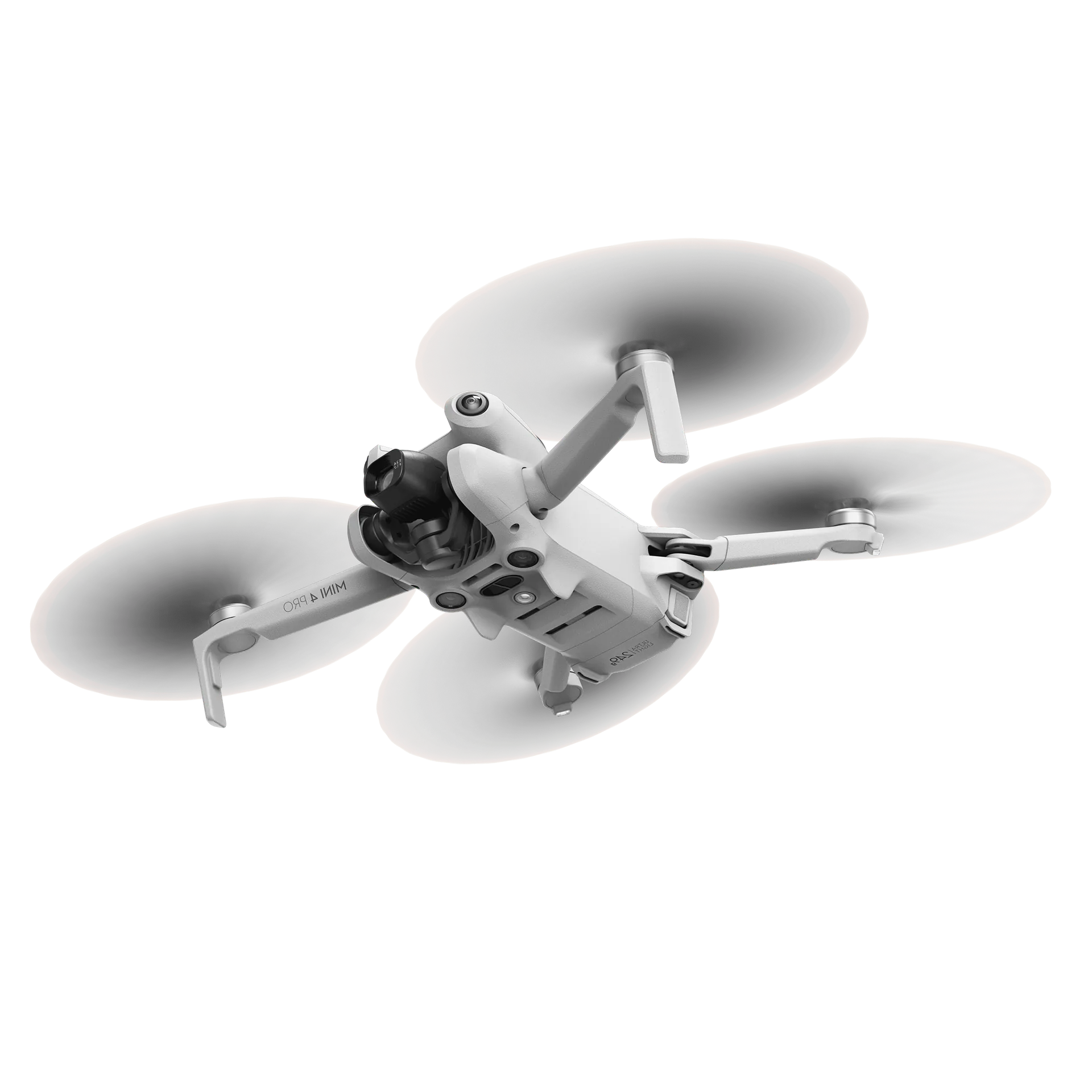
What do you need in order to fly yourself?
The assumption is usually a pilot licence and a week-long course. In reality you need nothing under 250 grams, and one online theory exam above it.
Read more
Surveying in house or outsourcing it?
Where outsourcing runs into trouble in practice, what surveying yourself actually demands, and from what frequency it becomes worth bringing in house.
Read more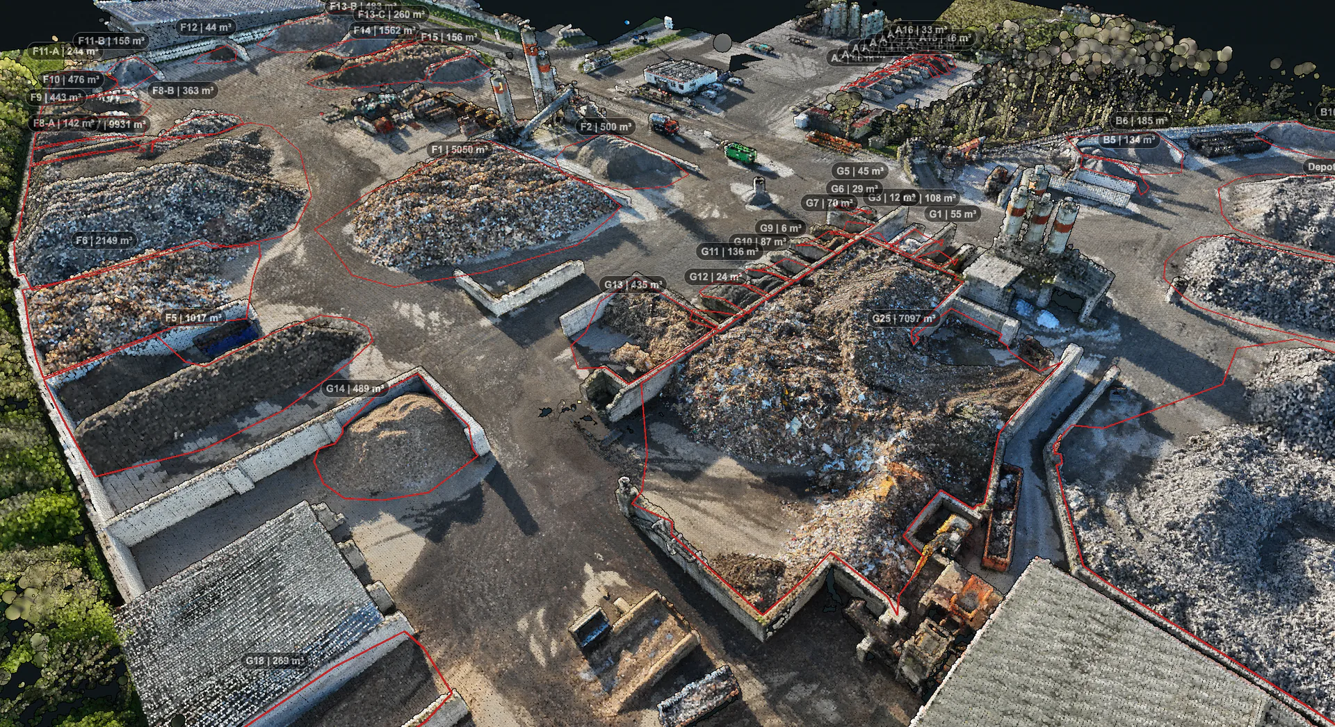
How often should you survey your stock?
Most companies survey once a year, for the accountant. Why monthly or even weekly delivers more, and how to work out which frequency fits your yard.
Read more
How AVG surveys six sites across two countries four times a year
Six yards in the Netherlands and Germany, one employee, one day per quarter. How AVG surveys its entire stock, and why comparability matters more there than any single measurement.
Read more
AP04 batch inspection by drone: making every inspection consistent
Why two samplers on the same batch arrive at different results, and how a digitally computed sampling grid and volume take that variation out.
Read more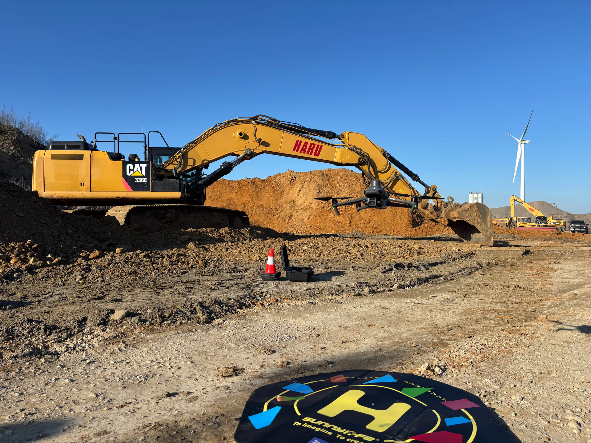
Surveying earthworks by drone: from baseline survey to handover
How a drone survey works on an active site, what you can measure in each project phase, and where the line sits between this and a surveyor's work.
Read more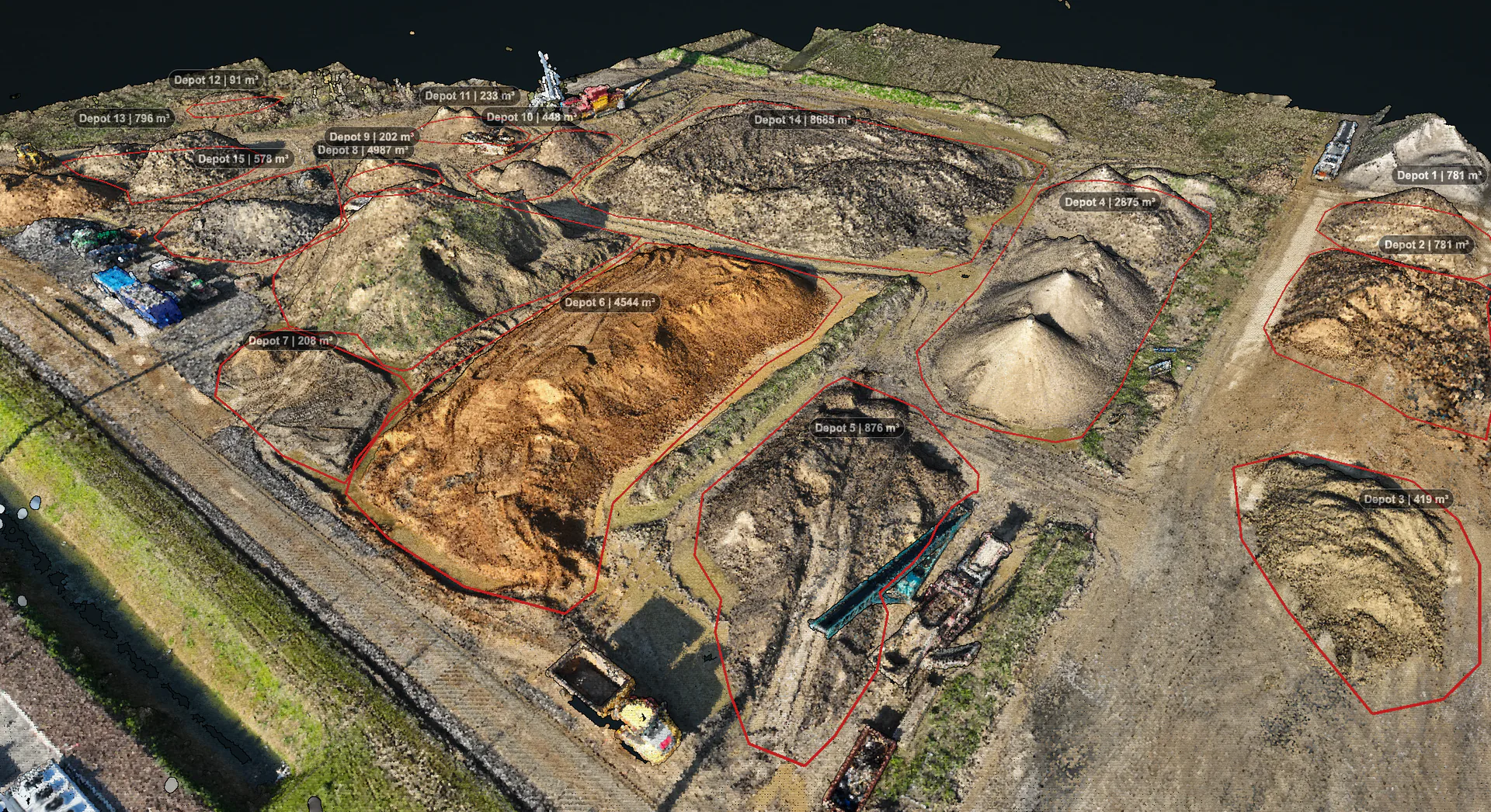
Stockpile management by drone: how it works and what it delivers
Most yards do not know exactly what is lying there. How a drone survey captures your stock to the centimetre, what it delivers, and when it pays for itself.
Read more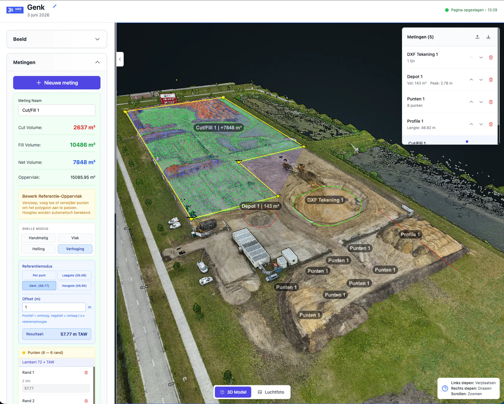
How does drone 3D mapping work? Photogrammetry and accuracy explained
From overlapping photos to a measurable 3D model. What photogrammetry is, why there are two kinds of accuracy, and what to expect without RTK, with RTK and with ground control points.
Read more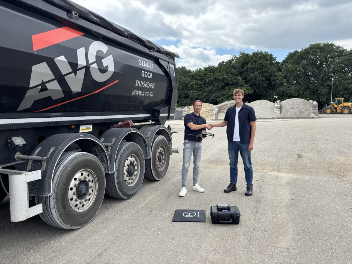
AVG invests in technology: a new drone for accurate stock measurement
AVG bought a drone and the software to go with it from MRR Drones, and now surveys the stock across all its sites itself every quarter. A real step towards stock management they can rely on.
Read moreWant to see what AiroMap could do for you?
Leave your email address and we will come back to you as soon as we can. Or book an online intro call straight away.
Book a demo
Pick a slot in our online calendar for a 30-minute intro call. We will look at your situation together and show you what is possible in a demo built around it.