
Trusted by BRL 1000 accredited field samplers across the Netherlands
In use at





Two colleagues, two different answers
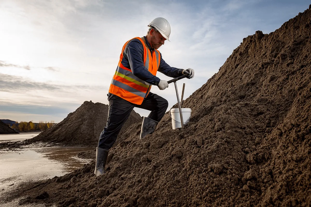
An AP04 batch inspection, the Dutch protocol for testing batches of soil and aggregate before reuse, is full of steps that leave room for interpretation: setting out the grid, judging the volume, turning field notes into a report. That is no reflection on your people. It is simply how the process works.
Variation between staff
One person surveys more carefully than the next. With a tape and a paper form everyone makes their own judgement calls, and it shows in the result.
Arguments over quantities
Without data that nobody can dispute, volumes get questioned after the fact. Writing explanations and defending figures eats hours you never planned for.
Rework and delay
A fresh notification of reuse, or a correction, doesn't just hold you up. It holds up the work on your client's site.
“Some colleagues take to surveying better than others. They want to do it properly, but they struggle with it.”
That is why we built AP04 Map: so every survey produces the same professional report. Your calling card with the client.
One workflow, three pages
AP04 Map replaces manual surveying with a standardised digital workflow. Not another piece of software, but a system that runs itself. The drone flies, the software calculates and your report is waiting online.
Powered by the AiroMap platformThe output you need, generated automatically in minutes
Click the report to view it at full size.
Sampling grid to BRL 1000
Calculated digitally from the 3D model, including topographic position and photo points. No tape measure or GPS rover needed.
Volume
Calculated automatically from millions of survey points, consistently within 2% of the true volume. No manual formulas.
Cross section with increments
Ready to drop into your report. Exports as PDF and slots straight into your existing workflow.
Supported variants
BRL 1001, BRL 1002, sub-batches, suspected asbestos-containing batches and in-situ material.
No processing steps in between, no complicated 3D software. What you get goes straight into the report.
Everything in one package, up and running in a morning
One package gives you everything you need: drone, software, training and all the paperwork around it, so getting started is straightforward. The drone weighs under 250 g, which keeps it in the lightest open-category class, so in most countries no remote pilot licence is required, and it flies entirely on its own. With our training and a platform this simple, your existing field samplers are operational within a morning, with no survey background and no drone experience.
And the surveying itself is fully automated, in three steps:
Traditional surveying vs AP04 Map
Not faster for the sake of it, but consistent, defensible and free of rework. Here is how the difference looks on site.
The three questions we get most
Straight answers to what consultancies want to know before they switch.
The sector is moving faster than you think
Three shifts are making standardised, digital reporting the norm over the next few years.
Digital is becoming the default
Survey technology has come a long way in a few years. Digital, standardised surveying is becoming standard practice at more and more environmental consultancies, while estimating by hand increasingly stands out for the wrong reasons.
Higher expectations all round
Clients increasingly expect repeatable, defensible evidence, driven in part by tighter legislation. Consultancies that get ahead of that strengthen their position.
Growing pressure on capacity
More inspections with the same team is a more realistic route to growth than recruiting in a tight labour market. It also shows your team and your clients that you are the firm that innovates.
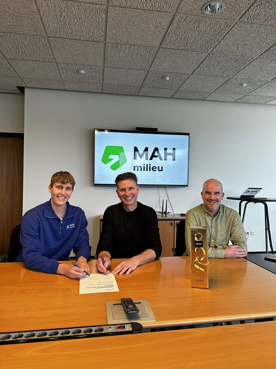
MAH Milieu surveys a batch in 20 minutes instead of an hour and a half
MAH Milieu, a BRL 1000 accredited consultancy, uses AP04 Map to run every batch inspection faster and demonstrably more consistently.
 Netherlands
Where surveying and setting out the grid used to take the best part of an hour and a half, the drone now flies the batch entirely on its own. Within about twenty minutes the grid layout and the volume are ready digitally, so the sampler can go straight to the calculated points and take the samples. The report then comes out standardised, whoever ran the survey.
- On-site surveying cut from around 1.5 hours to about 20 minutes
- Grid and volume calculated automatically, then targeted sampling
- Every field sampler files exactly the same report
“We have hard numbers now instead of an estimate by feel, and every sampler files the same report.”
The grid layout and volume calculation follow the BRL 1000 guidelines exactly. The result is a repeatable, defensible report that comes out identical no matter who carried out the survey.
Want to see what AP04 Map could do for you?
The real value of AP04 Map shows in a demo. Book one with no obligation: we look at your batch inspections together and show you how to deliver every survey consistently and defensibly.
Want to see what AiroMap could do for you?
Leave your email address and we will come back to you as soon as we can. Or book an online intro call straight away.
Book a demo
Pick a slot in our online calendar for a 30-minute intro call. We will look at your situation together and show you what is possible in a demo built around it.
Further reading
See all articles
AP04 batch inspection by drone: making every inspection consistent
Why two samplers on the same batch arrive at different results, and how a digitally computed sampling grid and volume take that variation out.
Read more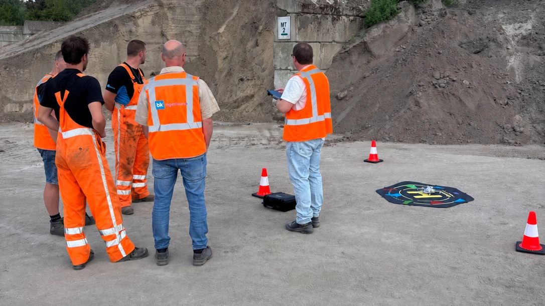
How a drone gets into a company
Buying a survey system is the easy part. Whether it gets used is the real question. How BK Ingenieurs took it up company-wide instead of as a trial.
Read more
'We estimate it' is no longer an answer
What is on your yard was an internal number for a long time. Increasingly you have to be able to prove it, and that is not only coming from your accountant.
Read more