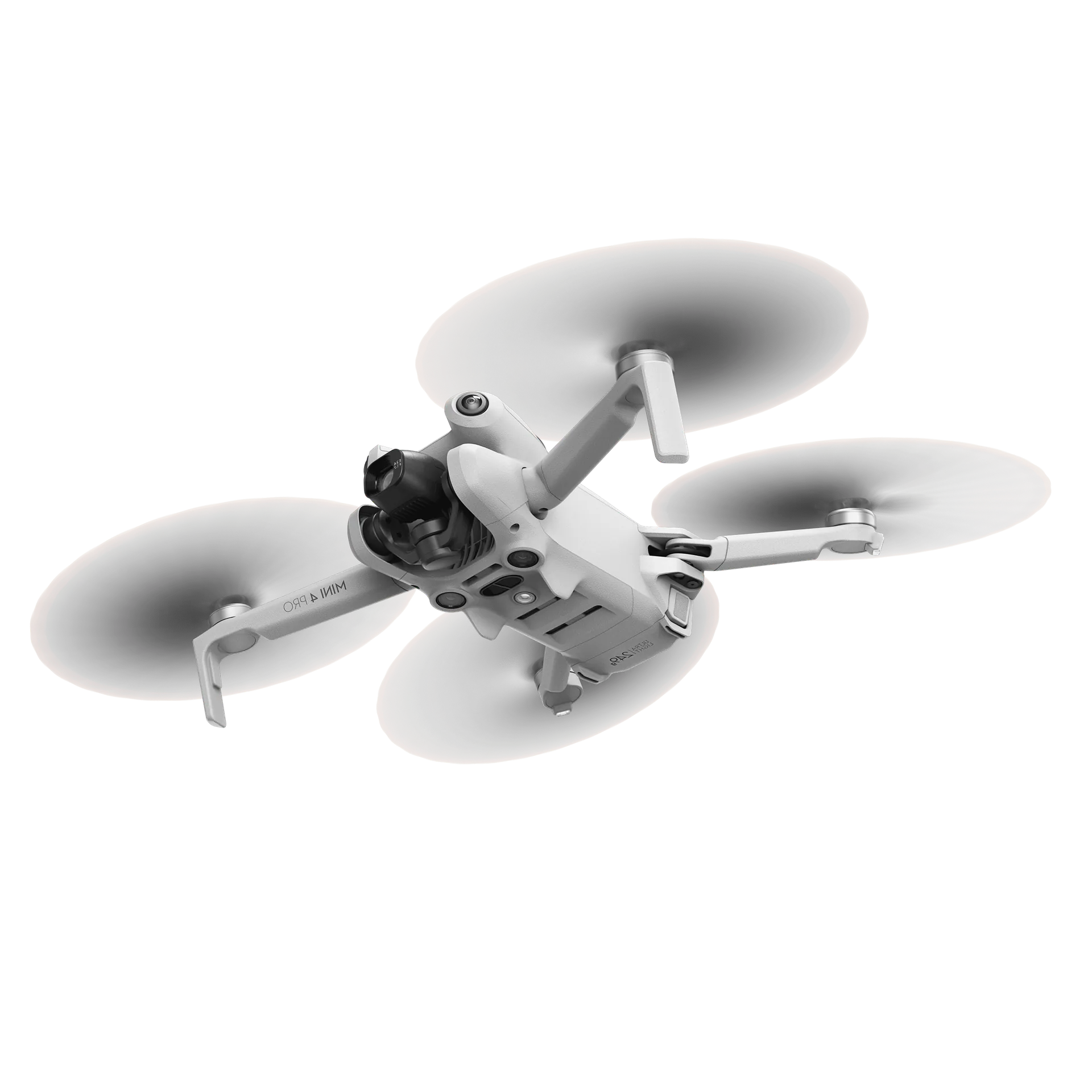
Drone survey or GPS rover: they do not measure the same thing
A GPS rover is accurate about points, a drone about shapes. Why that difference decides which tool fits which survey question, and why you use both.

Almost every company doing this work already has a GPS rover in the van. So the question is fair: if we can already survey to the centimetre with that, what does a drone add?
The answer starts with an observation that often gets skipped: they do not measure the same thing. It is not a question of which of the two is more accurate, but of what you are measuring.
Points versus surfaces
With a GPS rover you measure points you choose. You walk to a spot, set the pole down and record that position, one at a time. What you get is a collection of individual points, and they are very accurate.
With a drone you measure a surface. You are not recording a number of chosen spots but the whole shape of the site at once: millions of points that together describe the surface. You choose nothing, you get everything.
In one line: a GPS rover is accurate about points, a drone is accurate about shapes. Those are two different properties, and which one you need follows from your survey question.
Accurate per point is not the same as an accurate volume
This is the most counter-intuitive point and at the same time the most important. A GPS rover is more accurate per point than a drone. Yet a drone survey can produce a better volume than a GPS survey. That looks contradictory until you look at where the error in a volume comes from.
Survey a pile with a GPS rover and in practice you take a few dozen points: the foot, the top, a few places on the flanks. Between those points you know nothing, and the software fills it in with an assumed shape. On an irregular pile with bulges, worn flanks and a sloping foot, that is exactly where the problem sits. That assumption between the points weighs far more heavily than the centimetre to which you recorded each point.
A drone has nothing to assume. The shape has been measured, bulges and hollows included. The error per point is larger, but the shape error is far smaller, and a volume is a shape.
Where this does and does not apply
On a flat, regular surface, interpolating between points is fine: a hardstanding or a finished formation holds few surprises between the survey points. The more irregular the surface, the larger the difference. On piles and loose material the gap is wide; on a flat slab it is negligible.
Point density: the difference is not small
To give a sense of the order of magnitude. To survey one hectare on a 2-metre grid is 2,500 points. At a rate of a quarter of an hour per hundred points that is a working day, and then you have one hectare.
Which is why nobody does that. In practice you take the points with a GPS rover that you think you need, and that is a few dozen. That is a sensible choice, but it does mean you are not measuring the surface: you are sampling it.
A drone flight over that same site produces millions of points and costs you twenty minutes. And the neat part: a denser grid costs no extra field time. With a GPS rover, denser always means more walking; with a drone it is the same flight.
Time scales differently
That brings us to the second structural difference. The time a GPS survey takes rises in a straight line with area and with density. Twice the site is twice the walking. Twice the points, the same.
The time a drone survey takes is more or less fixed per flight. A larger area means a slightly longer flight, not a second day. For one point the GPS rover is faster, because there is no flight and no processing. Beyond a certain area that flips completely, and that point sits lower than people expect.
Where a GPS rover simply cannot reach
This is the practical difference that weighs heaviest in the field, and it follows from one property of a GPS rover: you have to physically stand on every point.
- On top of a pile: unsafe because of subsidence and voids, and your own weight deforms precisely what you are trying to measure
- On steep batters and unstable faces: not feasible, and not responsible
- On soft, waterlogged or contaminated material: sometimes physically impossible, sometimes not permitted
- Across water or a pit: there is no position to stand on
- Above head height: the top of a retaining wall, a silo or a roof does not get recorded by a GPS rover
- In an active working zone: where machines are moving, you do not want somebody standing there with a pole
That last one is often forgotten in the discussion. Surveying with a drone takes people out of zones they should not really be walking in. That is not a side benefit; at many companies it is the argument management reacts to first.
Where the GPS rover is better
And now the other side, because it is just as real. There is work where a drone does nothing for you at all.
- Setting out. A drone cannot mark a position in the field. If you need to physically indicate a point you need a GPS rover, and that will not change
- Checking one point against a known level or coordinate: a minute's work with a GPS rover and a whole flight with a drone
- Points under a roof, under a canopy or under dense vegetation: a camera cannot get there and a GPS rover can
- Surveys with legal standing, such as cadastral boundaries: different trade, different liability
- An immediate result in one spot, without processing: the GPS rover gives you the figure while you are standing there
Which survey question, which tool
More practical than a general verdict is the question per survey task. The pattern is always the same: is this about a surface or about points?
| Survey question | Best suited | Why |
|---|---|---|
| Volume of a pile or stockpile | Drone | Irregular shape, and you do not have to stand on it |
| Levels across a large area | Drone | Density decides the answer, and it comes free |
| Difference between two dates | Drone | Only a complete surface shows where something changed |
| Dividing an area or pile into cells | Drone | That needs the full geometry, not a sample |
| Setting out a design point | GPS rover | Something has to be physically marked |
| Checking one level | GPS rover | Faster and more direct than a flight |
| Points under a canopy or roof | GPS rover | No line of sight from the air |
That also makes this durable. When a new survey task comes along, the question is not which device is better, but whether you need a surface or a point.
They complement each other
So the conclusion is not that one replaces the other. In practice they work alongside each other, and that is how we position it too: a drone survey does not replace setting out, and the GPS rover stays in the van.
What changes is the division of labour. The recurring surface work goes to the drone, and the GPS rover goes back to what it is best at: targeted points, setting out and checking. For most companies that is also why capacity frees up among the people who know how to use the GPS rover.
How we do it
AiroMap is built for the surface part of that story. The drone flies automatically and captures the whole site, and in the platform you measure volumes, levels, profiles and differences between survey dates on it.
To connect to what you already have, you export to DXF, LandXML, GeoTIFF or LAS, towards your CAD environment or your machine control. If you work with levels tied to a fixed datum there is a ground control point workflow to pin the model to it, and that is exactly where your GPS rover earns its keep.
And if you want to do this yourself: what does that involve?See how the AiroMap platform works