
What do you need in order to fly yourself?
The assumption is usually a pilot licence and a week-long course. In reality you need nothing under 250 grams, and one online theory exam above it.
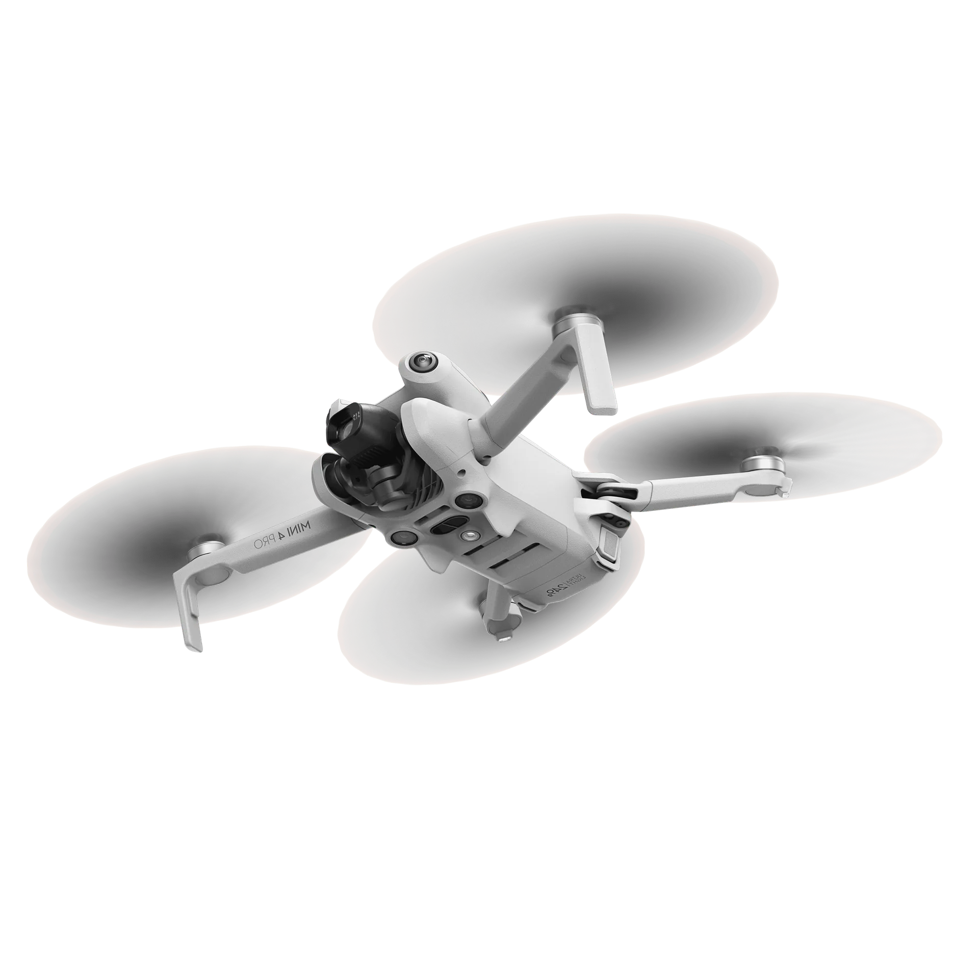
As soon as the conversation turns to surveying yourself, this question comes up: is somebody on our team actually allowed to fly that? Usually with the assumption that a pilot licence, a qualification or a week-long course comes with it.
The short answer: mostly not, and where something is required, it is less than people expect. This article sets out what is actually asked of you in practice.
Under 250 grams: you can start straight away
For a drone weighing under 250 grams you need no drone licence and no exam. No course, no theory, no practical test. Somebody on your team takes it out of the box and can get to work.
That is not an exception or a grey area, it is exactly how the rules for this weight class are set up. The only thing that goes with it is a one-off registration as an operator, arranged online in a few minutes, and that is that.
It is also why we deliberately use a drone below that threshold for batch inspections. It removes the barrier before there is one.
Above 250 grams: an online exam
If the drone weighs more than 250 grams you do need a certificate of competency. And here is where the misconception sits: that is one online theory exam, and nothing else.
For the kind of work in question here, surveying your own yard or a site with no public walking around, that basic exam is normally sufficient. There is an additional certificate for situations where you have to fly closer to people, but for most survey work it is not needed.
- It is a theory exam, taken online through the national aviation authority. Which body that is depends on the country you fly in
- No practical exam and no flight instructor: nobody stands beside you assessing your flying
- Multiple-choice questions on airspace, weather, safety and the rules themselves
- Failing is not a problem, you can retake it
- The certificate is valid for several years and applies across the EU
In practice it comes down to an afternoon of study and an exam at your laptop. No week-long course, no flight school.
| Under 250 grams | Above 250 grams | |
|---|---|---|
| Drone licence | Not needed | Online theory exam |
| Practical exam | Not needed | Not needed |
| Training | Not needed | Half a day, with us |
| Operator registration | One-off, online | One-off, online |
| When can you start | Straight away | As soon as the exam is passed |
Where you may not fly
Besides competency there is the question of where you may fly. There are areas where it is not allowed or where you have to arrange something in advance: around airports, over military ground and in a number of specific protected areas.
In practice that is mainly a matter of checking beforehand. There are maps showing per location whether anything applies, and you check that once for a site you visit regularly. For the great majority of industrial yards, stockpiles and construction sites it does not come up.
Who does it in practice
One more practical point that often gets forgotten: this does not have to become a job function. One or two people per site is enough, and those are usually the people already walking the site anyway.
It is wise not to leave it with one person though. If they are on holiday or they leave, you do not want the surveys to stop. Two people per site is a comfortable minimum in practice.
The wider trade-off: surveying in house or outsourcing?Being allowed to fly is not the same as being able to survey
One thing here should not be read the wrong way. Being allowed to fly does not mean you can survey with it. Sending a drone up for a holiday clip or an overview shot of the site is genuinely something anyone can do: the drone does most of it itself, and you can see straight away whether the result is any good.
A measurable flight is a different discipline. Constant height, even overlap, fixed camera settings, and then the processing and the check on whether the model is actually sound. Those are choices you cannot see going wrong in the result: a distorted model looks just as complete as a good one, and the volume that comes out of it looks just as credible. That is where the real barrier sits, not in the exam.
What makes a flight measurable, and what does notHow we help with that
Where a certificate of competency is needed, we do not leave you to work it out. We have a half-day course for it, in which we go through the theory and guide you through the exam process. Afterwards you know not only what you need for the exam, but what it means in practice on your own site.
Licence and insurance are part of the package, and we use that same half day to get your team working with the drone and the platform. By the end of that morning, surveying can start.
We do not teach you the survey discipline itself, because you do not need it. Flight height, overlap and pattern are computed automatically, the processing and the checks happen in the cloud, and the calculation sits in the platform. So your team does not have to master photogrammetry in order to trust a survey.
And for applications where we stay under 250 grams, such as batch inspections, that step is not there at all: nothing to apply for and nothing to be examined on.
See how the AiroMap platform works

