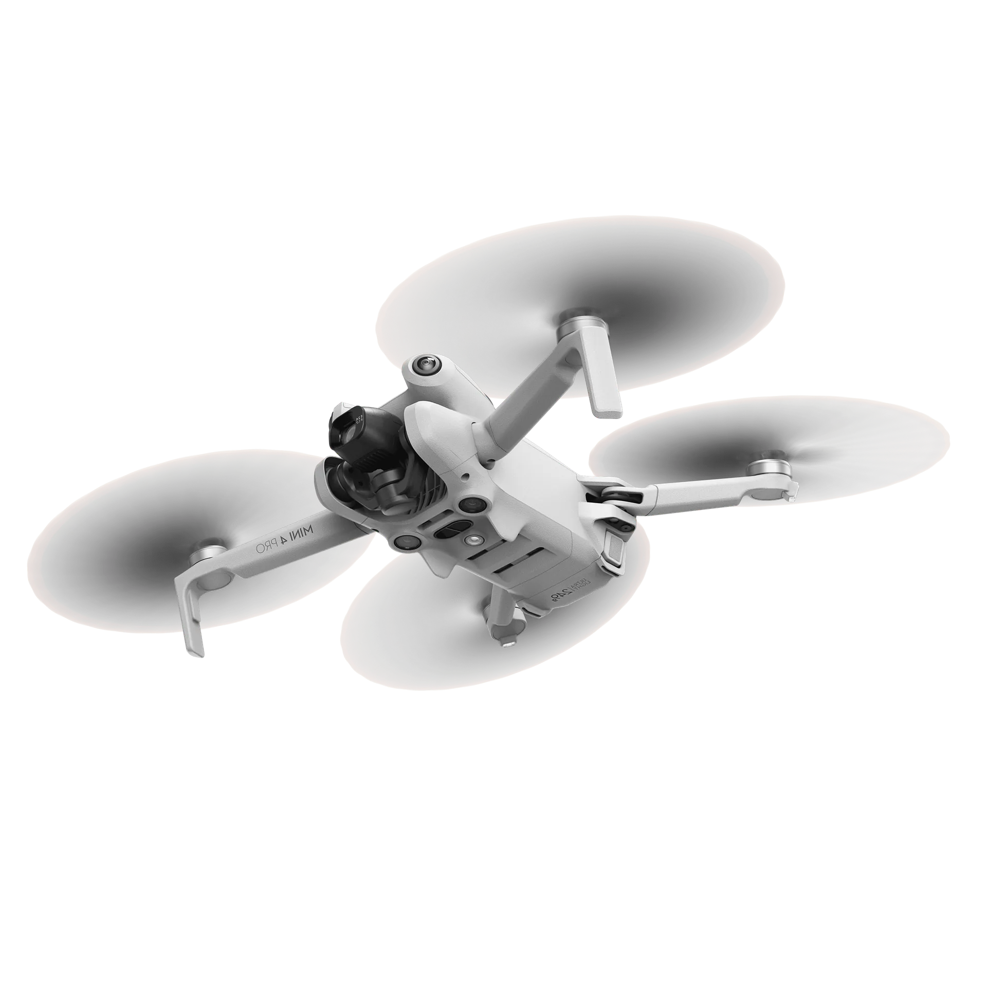
Surveying earthworks by drone: from baseline survey to handover
How a drone survey works on an active site, what you can measure in each project phase, and where the line sits between this and a surveyor's work.
Survey work on an earthworks project usually runs along one of three routes: you bring in a surveyor, you estimate the quantity from experience, or you wait until the CAD or GPS specialist in your own company has time. All three work, until the schedule tightens.
Then the same problems keep coming back: survey data arrives too late, quantities get argued over, progress stays unclear, and the people who can do it are already fully booked. This article explains where a drone survey fits in, what you can do with it in each project phase, and what it does not replace.
Where it breaks down in practice
Four bottlenecks show up on almost every project, and all of them come down to timing.
- Survey data arrives too late. A cut and fill figure or a level survey is often needed before the work can continue. If that survey sits with an external firm or with one internal specialist, the project waits for capacity that is not there this week
- Quantities stay arguable. By eye you cannot tell whether that is 800, 1,000 or 1,200 cubic metres. That leads to discussion with clients, subcontractors or internally
- Specialists get overloaded. In many companies there is one person who really commands machine control, GPS data and complex drawings. As a result, even simple survey jobs land with that person
- Checking afterwards is hard. How many cubic metres were moved, where was material placed or removed, does the execution match the drawing? Without repeatable surveys you are left with photos and experience
Note what the heart of this is: the survey itself is often not complicated. It is the knowledge and the software that sit with too few people.
How a drone survey works on a site
The drone flies a set pattern over the site and takes hundreds of photos that overlap generously. Software recognises the same points across multiple photos and computes their position in three dimensions from them. What you are left with is a point cloud of millions of 3D points, plus a corrected aerial photo of the area.
In practice a flight over a few hectares takes about twenty minutes, including unpacking and packing away. Processing then happens in the cloud, so no heavy computer or separate photogrammetry software is needed, and there are no SD cards to shuttle between programmes.
One thing is important to understand: the model gives you two kinds of information. Proportions inside the model are reliable straight away, so volumes, height differences and changes between two surveys. Whether the model also sits at the correct absolute level is a separate question, and it mainly matters the moment you start setting out or want to drive a machine.
The difference between relative and absolute accuracy, explainedWhat you can measure on such a model
The model is not a picture but a measurable object. The survey questions that keep coming up on a site can all be answered on it:
- Volumes: stockpile quantities in cubic metres, including automatic determination of the base level around the material
- Levels: height differences between points, and a grid of automatic survey points, for example every 10 or 20 metres
- Profiles: a cross-section along a line, suitable for documenting batters, verges and haul roads
- Cut and fill: calculated against a target level or a design surface
- Distances, areas and coordinates: 2D and 3D distances, terrain-following areas, and X, Y and Z coordinates for any point
- Progress: comparing two survey dates, showing where material was added and where it was taken away
That last one is the most underrated in practice. One survey tells you how the site stands now. Two surveys tell you what happened between those dates, and that is exactly what you need to steer on progress and to invoice.
From baseline survey to handover
Most of the value does not come from a single survey, but from using the same data right through the project. In practice there are four moments.
Phase 1, the baseline survey. Capture the site before a spade goes in the ground: current levels, existing volumes and the real starting situation. That is your digital basis for the rest of the project, and the answer to whether the starting situation matches the drawing.
Phase 2, design and setting out. The baseline survey goes into your CAD environment, and the design goes on to the RTK-GPS or the machine control. Absolute level does matter here, so this is where you take extra care over the height reference of your model.
Phase 3, progress and invoicing. Periodic flights show how much has actually been moved. That makes it possible to invoice on completed work rather than on an estimate, and it surfaces deviations while correcting them is still cheap.
Phase 4, handover and as-built. Compare design against what was built, supply as-built data and hand over a complete digital file. Years later that file still settles the question of how the work actually looked at the time.
Four ways to get survey data
| Strong at | Limitation | Suited to | |
|---|---|---|---|
| Estimating from experience | Immediate, no preparation | Inaccurate and not traceable | Small, non-critical quantities |
| External surveyor | Very accurate, legally usable | Waiting time and dependency | Cadastral boundaries, complex setting out, independent checks |
| Internal CAD or GPS specialist | Deep knowledge of design and machine control | Quickly becomes a bottleneck for simple work | Complex models and engineering |
| Drone survey by your own team | Repeatable, directly usable result | Not suitable for cadastral or legal setting out | Stockpiles, cut and fill, levels, profiles, progress |
What it delivers
Margins in civils are thin, which makes the business case fairly direct. Remedial work after the fact easily runs to 5 to 10% of a project. A level that is slightly out or a profile that does not match can, without an interim survey, only surface once the job is done. With a periodic survey you see that deviation while correcting it is still half a day of digging.
It also changes the conversation with your client. Invoicing on cubic metres actually moved, backed by a dated survey, takes the quantity discussion off the table. That speeds up payment and saves the hours that otherwise go into defending an estimate.
And finally: the office and the site look at the same current picture. That sounds soft, but in practice it saves a great many phone calls and misunderstandings about where things stand.
What a drone survey does not replace
This is worth being clear about, because a drone is not a replacement for a surveyor. For cadastral boundaries, legal setting out and independent check surveys, a surveying firm remains the right choice. That is a different trade with different liability.
Your RTK-GPS stays necessary too. The two complement each other: the GPS rover is the tool for setting out and for checking individual points, the drone survey gives you the complete picture of the whole site. A drone survey does not replace setting out.
Beyond that, the camera needs a line of sight. Dense vegetation hides the ground beneath it, water surfaces yield no reliable points, and machines and containers standing on site during the flight end up in the model. Those can be removed before you calculate a volume or cut and fill, but it is something to bear in mind when planning a flight.
What to watch for when you start
The technology is mature; the question is whether it fits your process. Four things decide that in practice:
- Absolute level. For volumes and progress, relative accuracy is enough. If you want levels tied to a national datum for a handover or for machine control, you need a height calibration or surveyed ground points
- Export to your own software. Does the model come out as DXF, LandXML, GeoTIFF or LAS, or are you locked into one environment? This decides whether it connects to your CAD and your machine control
- Who carries it out? If every survey runs through one specialist, you have only moved the bottleneck. The gain is that a work planner or site manager can do it themselves
- Does it fit a rhythm? The value comes from repetition: a site weekly, the stockpiles monthly, a baseline survey for every project. A survey you have to book ahead happens less often than it should
How we do it
AiroMap is our answer to this: a drone that flies fully automatically, combined with an online platform in which you do the measuring yourself. One package with drone, software, on-site training and support, so the survey work sits with your own work planning or site team rather than with an external firm or one internal specialist.
To connect to your existing workflow you export to DXF, LandXML, GeoTIFF, LAS or CSV, towards Autodesk, QGIS and other packages, or straight to your machine control. For projects where absolute level counts there is a heavily automated ground control point workflow to tie the model to the datum. And the platform works alongside your RTK-GPS, not instead of it.
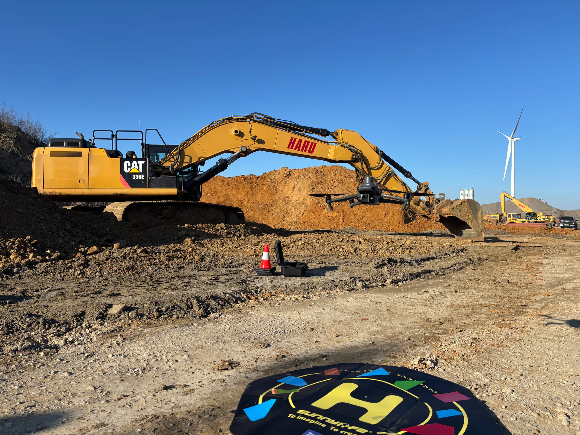
An example of how that plays out: Haru, an earthworks and civils contractor, flies over its projects weekly to see how much soil has been moved and where the work stands. What began as a trial has become a fixed part of the week. "We used the drone as a test at first, but by now we would not want to be without it", says owner Davy.
See how AiroMap works for earthworks and civils